
三維世界 盡在掌握
香港科技大學研究團隊成功研發全面的三維地圖繪製技術及平台,對現時美國和中國的互聯網巨頭所爭相研製的新一代三維地圖至為關鍵。
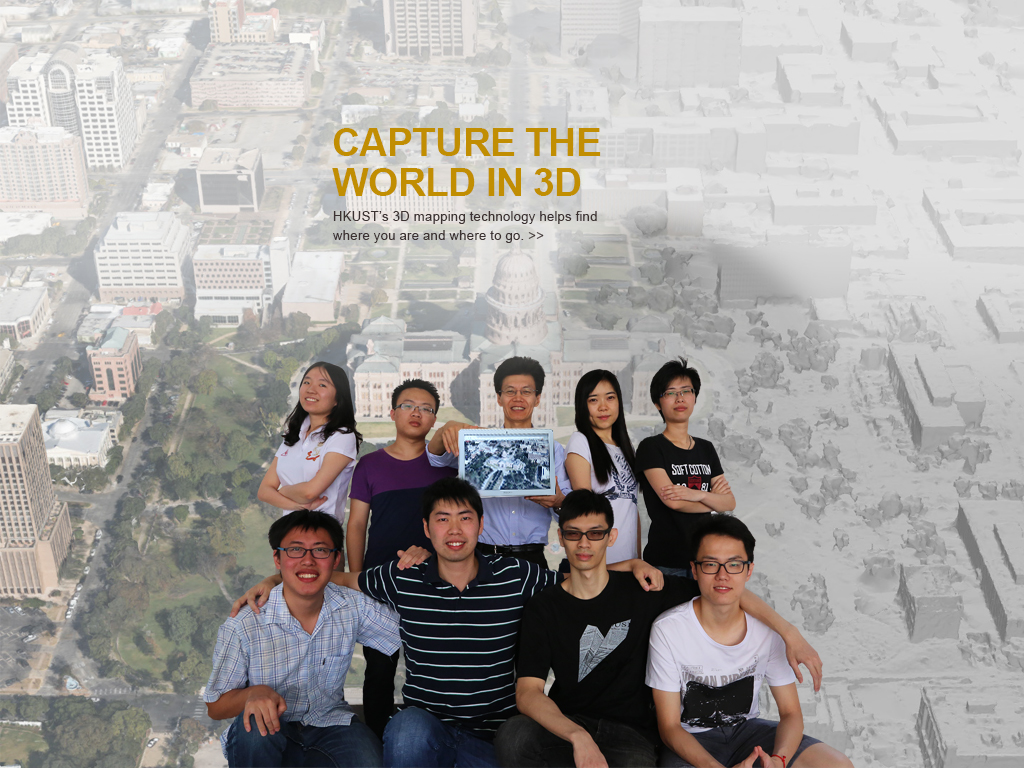
由計算機科學及工程學系權龍教授率領的科大團隊,僅用上照片和電腦程式,便可為任何地方製作完整的三維圖像。權教授的團隊正計劃開展製作首張香港的三維地圖。
權教授表示,互聯網巨頭谷歌(Google)地圖在歐美覆蓋幾個城市。權教授的團隊用超過十年時間開發的演算法,能透過飛機、直升機或無人駕駛飛機在高空拍攝的影像,替建築物及地標製成高解像度的側面圖片,無需再依賴人手接駁電腦圖片,從而避免地圖失真。新技術塑造的三維地圖能夠貼近真實,而高地面解像度可準確至數厘米距離,質素更勝谷歌及蘋果公司的地圖。
權龍教授及其團隊表示這項技術具潛力吸引大量的互聯網使用者、辨識城市景點及分析住宅區的行為活動等,有助城市規劃、物流公司和導航公司的工作。
除與大型互聯網公司合作外,科大最近亦夥拍法國的跨國航天、防衛、運輸和保安公司泰雷茲集團(Thales Group),由無人駕駛飛機繪製地圖用作執行搜索和救援任務。雙方簽訂的協議將有助鼓勵創新、培育年輕的創意工程師,以及促進研究人員之間的積極交流。
About The Hong Kong University of Science and Technology
The Hong Kong University of Science and Technology (HKUST) (www.ust.hk) is a world-class research university that focuses on science, technology and business as well as humanities and social science. HKUST offers an international campus, and a holistic and interdisciplinary pedagogy to nurture well-rounded graduates with global vision, a strong entrepreneurial spirit and innovative thinking. HKUST attained the highest proportion of internationally excellent research work in the Research Assessment Exercise 2014 of Hong Kong’s University Grants Committee, and is ranked as the world’s best young university in Times Higher Education’s Young University Rankings 2019. Its graduates were ranked 16th worldwide and top in Greater China in Global University Employability Survey 2018.


